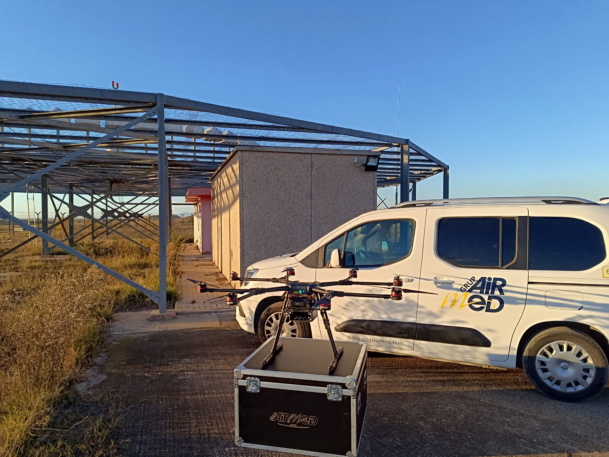
Within the surveillance and verification of the Environment in GrupAirmed, with our RPAS, we can help in your projects to collect the information that you want to record, analyze in a personalized way, adjusted to your needs.
Some of the aerial work with RPAS is the control and maintenance of water resources, volcano surveillance, exhaustive study of drainage, the geomorphology of the terrain, water runoff and trough and accumulation zones. Aerial monitoring of fauna and flora species. The use of drones not only serves to carry out a count, but through images taken in different periods of time, the evolution of ecosystems, habitats or species can be analyzed.
At Grupairmed we also have the ability to combine work with RPAs with work with airplanes. We can carry out studies of large areas with the plane and then analyze specific areas with unmanned vehicles. We have the capacity to travel in our own aircraft with all the equipment and offer a quick response.


